
Before there was a village
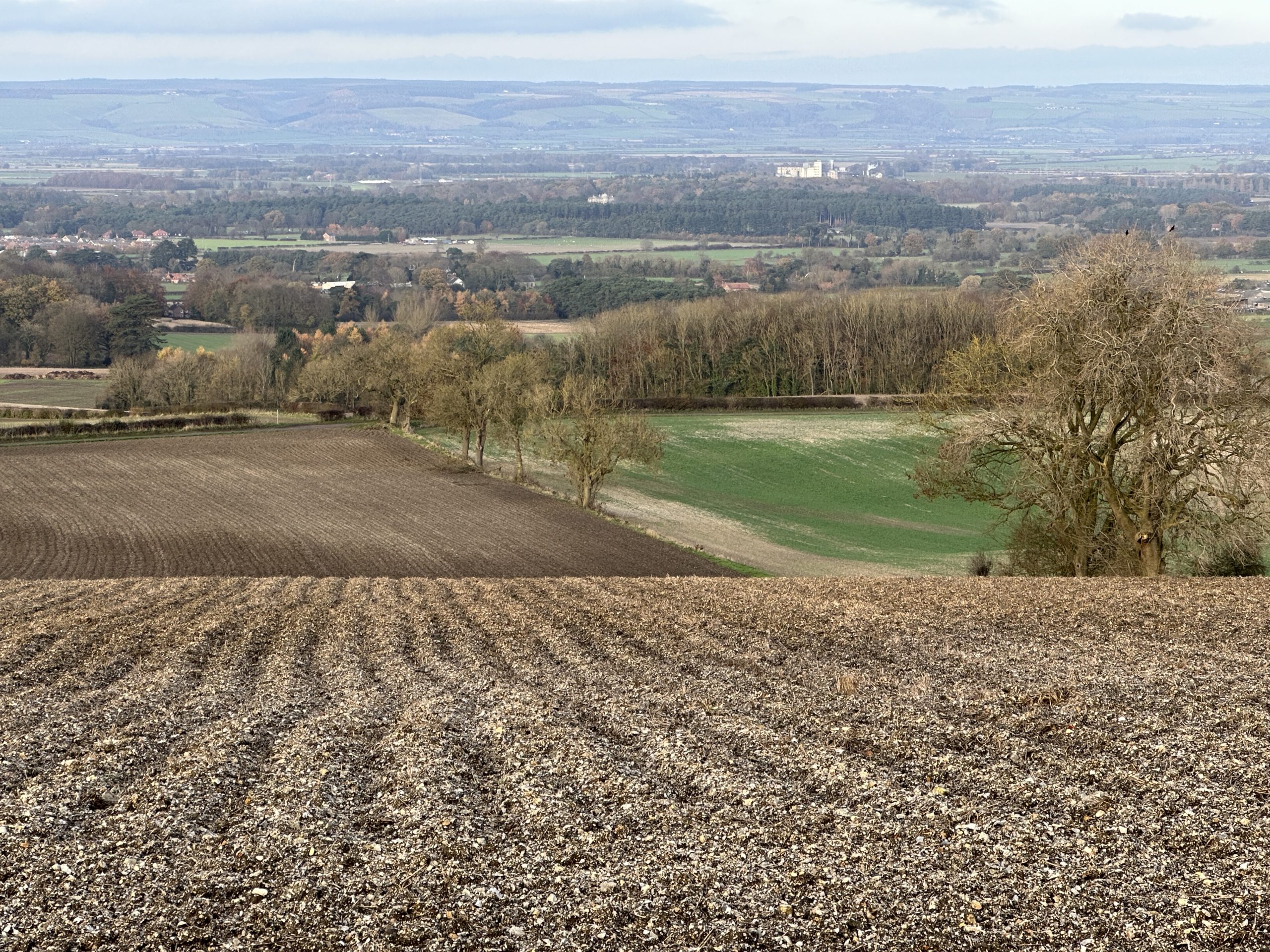
Every village has a story. Rillington’s story did not begin with its first appearance in the Domesday Book in 1086, the first house, the first church, or the first name entered into the parish registers in 1626. Long before people settled here, nature was quietly shaping the landscape that would one day support a thriving community.
To understand why Rillington exists where it does, we must travel back thousands of years to a very different Yorkshire.
During the last Ice Age, vast glaciers covered much of northern Britain. As the climate slowly warmed, enormous quantities of meltwater became trapped behind the retreating ice, forming what is now known as Glacial Lake Pickering. Stretching across much of the present-day Vale of Pickering, this was an immense body of water. As the glaciers retreated, they left behind ridges of rock, gravel and clay, known as moraines, which continued to block the lake’s natural outlet to the east.
Eventually, the lake overflowed through the hills at Kirkham Gorge. This dramatic event permanently altered the drainage of eastern Yorkshire, diverting the River Derwent southwards through the gorge instead of allowing it to flow eastwards towards the coast. As the waters receded, they left behind rich deposits of sands, gravels, silts and fertile alluvial soils that would shape the landscape for thousands of years.
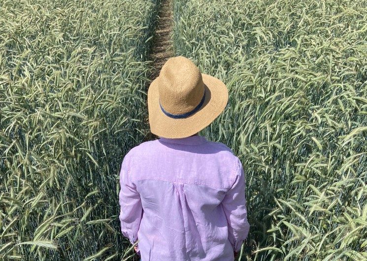
These deposits would prove to be one of the area’s greatest natural assets. The land was fertile, well drained in many places, and capable of supporting agriculture. Long before fields were enclosed or crops cultivated, the foundations of a farming landscape had already been laid.
Rillington occupies a particularly favourable position. Nestled on the northern edge of the Yorkshire Wolds and overlooking the Vale of Pickering, it lies where contrasting landscapes meet. The chalk uplands, fertile valley soils and reliable water sources combined to create an ideal location for settlement. Long before the first settlers arrived, nature had already prepared the landscape on which Rillington would grow.
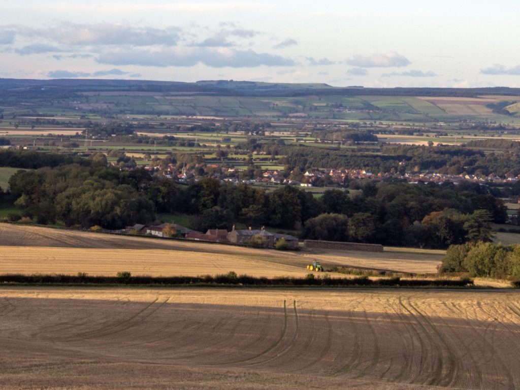
As the centuries passed, hunter-gatherers moved through these landscapes, followed by farming communities who gradually cleared woodland and established more permanent settlements. Although much about these earliest inhabitants remains hidden beneath the soil, archaeological discoveries across the Vale of Pickering have revealed that people have lived, travelled and worked here for thousands of years.
Evidence of much earlier activity survives nearby. An Iron Age barrow cemetery in the village’s east field consists of groups of burial mounds dating from around 500-100 BC.[1]
The landscape also influenced how people travelled. Although no confirmed Roman settlement has been identified within Rillington itself, the line of the modern A64 closely follows what many historians believe may preserve part of the Roman route between Norton and the east coast. While definitive archaeological evidence remains elusive, the remarkably straight alignment west of the village and traces of an earlier roadway near Scampston suggest that Roman engineers may have recognised the same practical route through this landscape nearly two thousand years ago. Whether or not every section can be proved, the route demonstrates that Rillington occupied a natural corridor linking York with the coast long before the coming of turnpikes or railways.
The raised ground on which St Andrew’s Church stands may preserve echoes of a Saxon focus of settlement. While many questions remain unanswered, the site reminds us that villages often occupy places whose importance reaches far beyond the surviving written record.
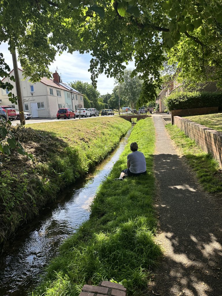
Water has always been central to Rillington’s story. Springs, streams and the small rills that perhaps gave the village its name provided an essential resource for generations of inhabitants. Even today, these natural watercourses continue to shape the character of the landscape, quietly linking the present with a much more distant past.
By the time Rillington first appeared in historical records, the essential framework of the village already existed. Ice, water and time had shaped the landscape. People simply adapted to the opportunities it offered.
Every story told on this website begins with that landscape. The families who lived here, the church they built, the roads they travelled, the farms they cultivated, the railway that transformed village life, and the names preserved in parish registers all belong to a much longer story that began thousands of years earlier.
Before there was a village, there was a landscape.
Before there were families, there were fields waiting to be cultivated.
Before there were parish registers, manor courts, railways or even St Andrew’s Church, nature had already shaped the place that generations would come to call home.
Understanding that landscape allows us to understand everything that followed.
[1] Historic England https://historicengland.org.uk/listing/the-list/list-entry/1004072