ON THE GROUND IN RILLINGTON: THE RILL AT SLEDGATE
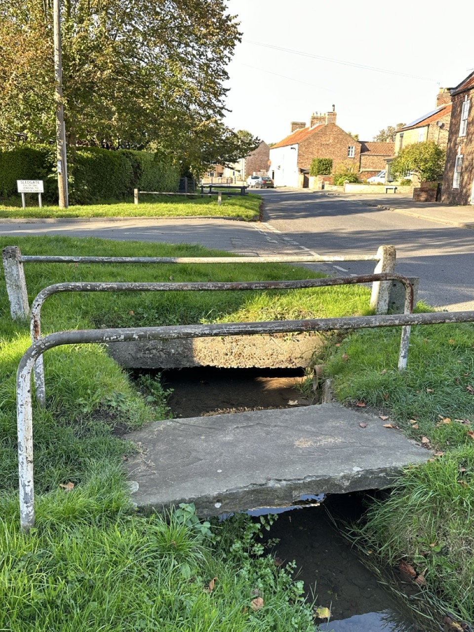
Standing beside the small footbridge on Low Moorgate before Sledgate, it is easy to overlook the stream flowing quietly beneath. Yet these modest watercourses may hold the key to the village’s name.
Rillington was recorded in the Domesday Book of 1086 as Redlinton, Renliton. Later, in the Yorkshire Inquests, 1415 it was recorded as Rullington. Historical records contain a variety of forms, reflecting both the evolution of language and the way medieval clerks wrote what they heard. The name Rullinton may mean a town in a rudding or a clearing, however I have always been drawn to another possibiloty. Across the parish, small streams or rills cross the landscape, draining the fertile land of the former Lake Pickering. The stream at Sledgate is one example. Looking at the geography of the parish, it is not difficult to imagine how a settlement associated with these watercourses might have become known as the place of the rills.
Whether or not that interpretation proves correct, the relationship between Rillington and water is unmistakeable. The parish sits within a landscape shaped by water, from the ancient lake that once covered the vale of Pickering to the streams that still cross its fields today.
This small footbridge is therefore more than a crossing point. It is a reminder that the landscape itself can preserve clues to the origins of a place-name that has survived for almost a thousand years.
Pam Smith DipGen